


An elegant city full of traditional heritage, contemporary culture, green spaces and a few surprises.
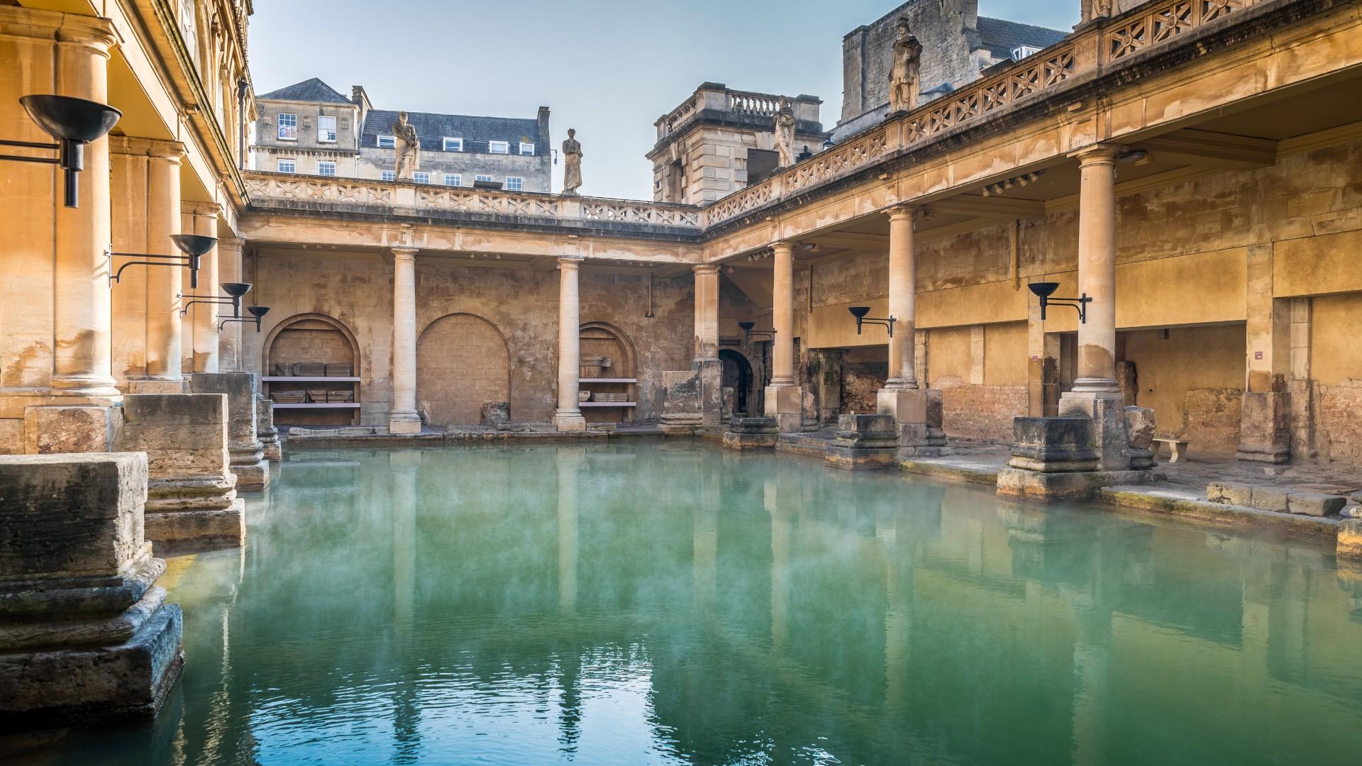
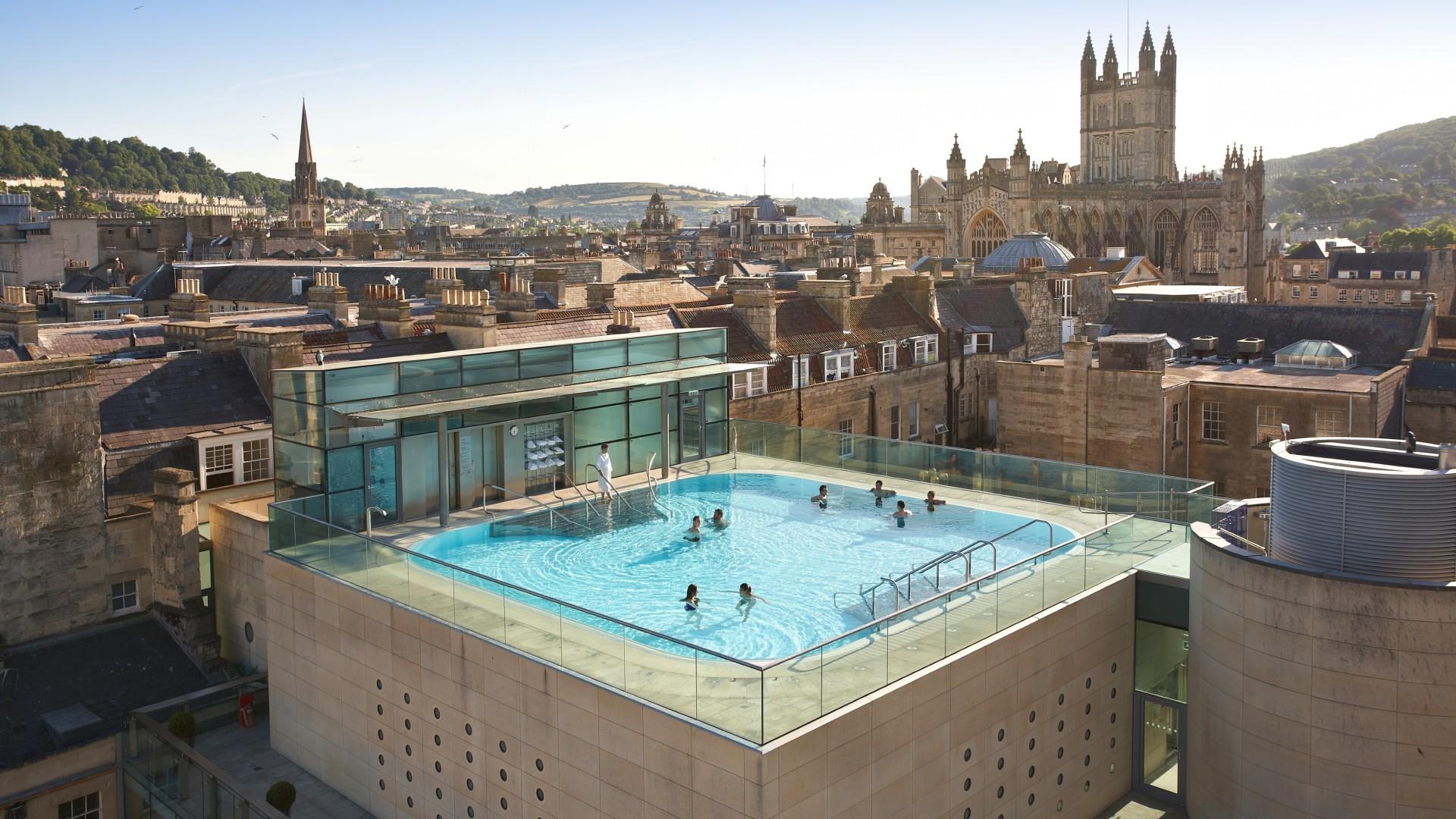
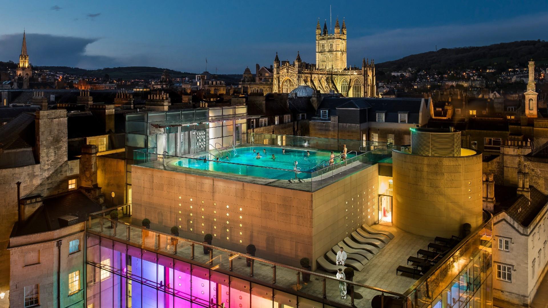
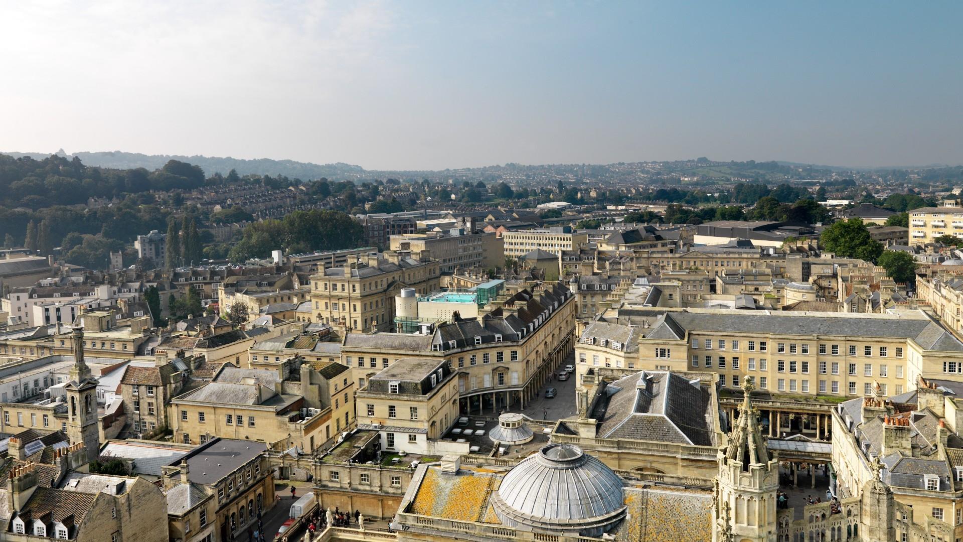
Built for pleasure and relaxation, beautiful Bath has been a wellbeing destination since Roman times. The waters are still a big draw today, both at the ancient Roman Baths and the thoroughly modern Thermae Bath Spa, which houses the only natural thermal hot springs in Britain you can bathe in.
Bath’s compact, visitor-friendly centre is overflowing with places to eat and drink, plus some of the finest independent shops in Britain, making it the ideal city break. Immerse yourself in Bath’s remarkable collection of museums and galleries, and enjoy year-round festivals, theatre, music and sport.
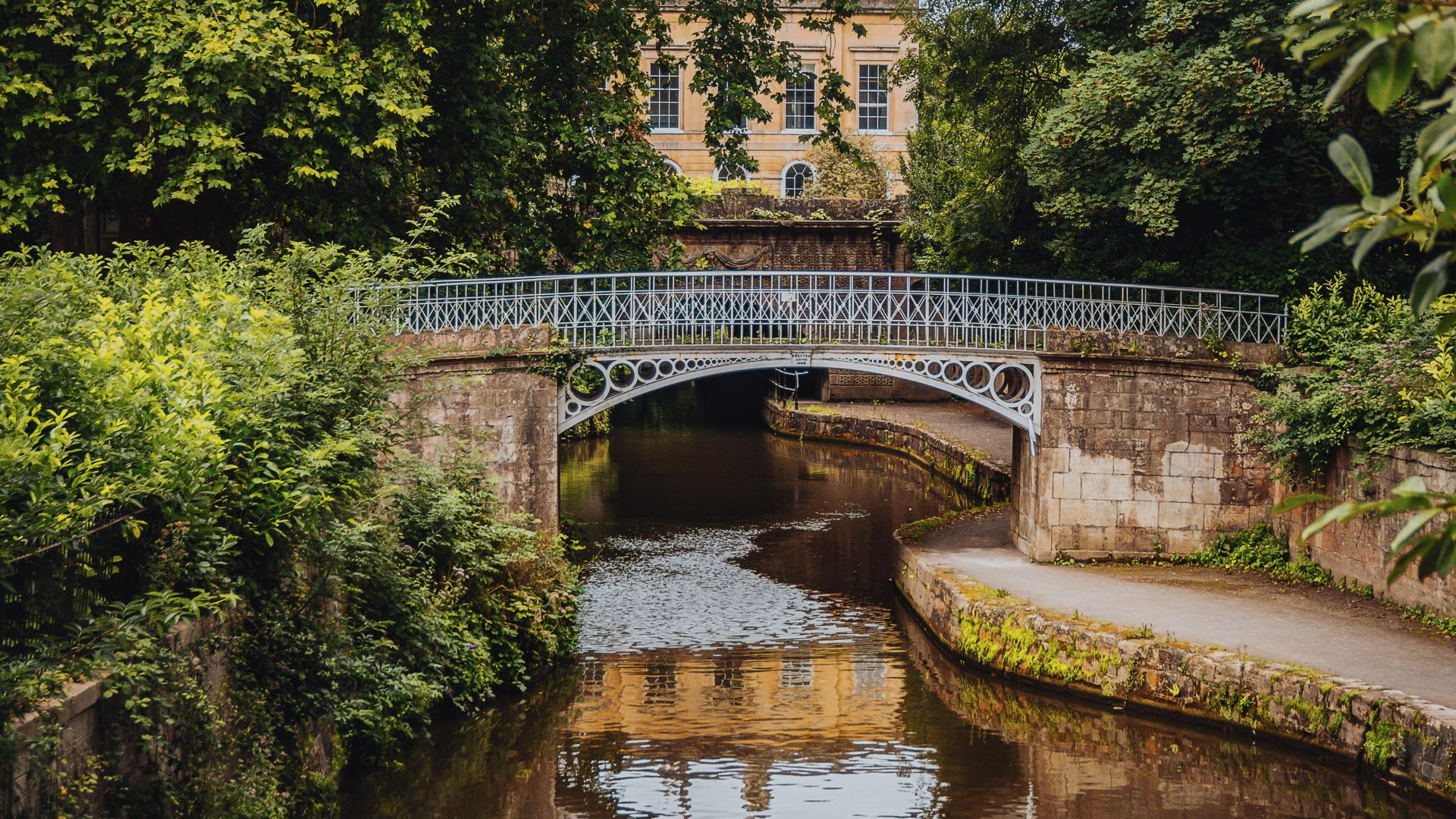
Bath's stunning, honey-coloured Georgian architecture is straight from a Jane Austen novel; highlights include the iconic Royal Crescent and the majestic Circus. There’s plenty to see beyond the city, too, with beautiful Somerset countryside to explore, as well as attractions including Stonehenge, Avebury, Castle Combe, and Longleat Safari Park.